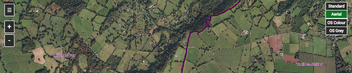
Click on the image below to go to the Monmouthshire County Council map of the area. It can show the boundaries of the wards within the Mitchel Troy area, and also a whole range of other things such as the location of current planning applications, school catchments, waste collection information, and so on.